A landscape of small discoveries.
Završje sits between Grožnjan and Oprtalj, above the Mirna valley. Use it as a starting point for a day shaped by hill towns, countryside and a few thoughtful detours.
Beyond Završje
Find your next small place.
From Završje to the villages of central Istria and the wider hill-town collection. Find a place, explore its guide and save it for another day.
Village centres · Geographic positionsDrag to explore. Select a village for its guide.
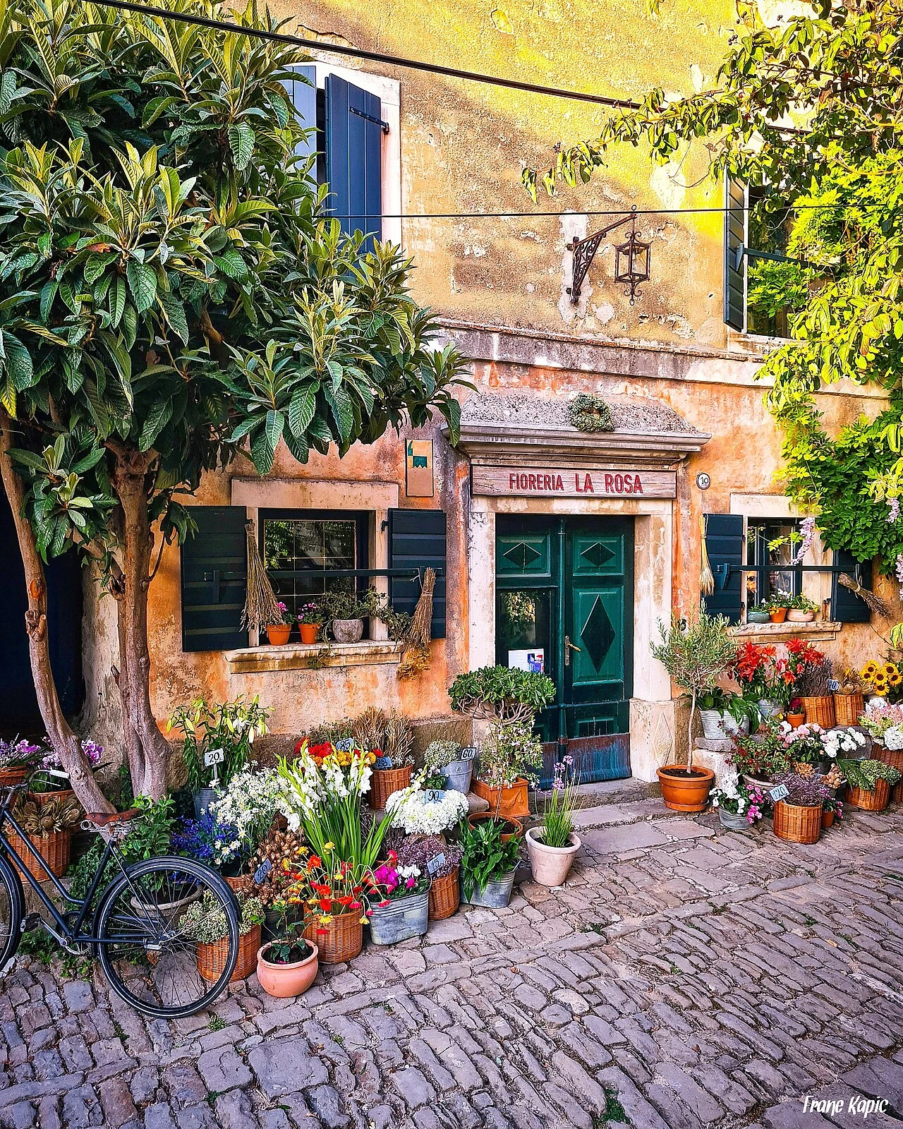 Frane Kapić · CC BY-SA 4.0
Grožnjan
Make time for the lanes and artistic character of Grožnjan, another small hill town in this corner of Istria.
Discover the guide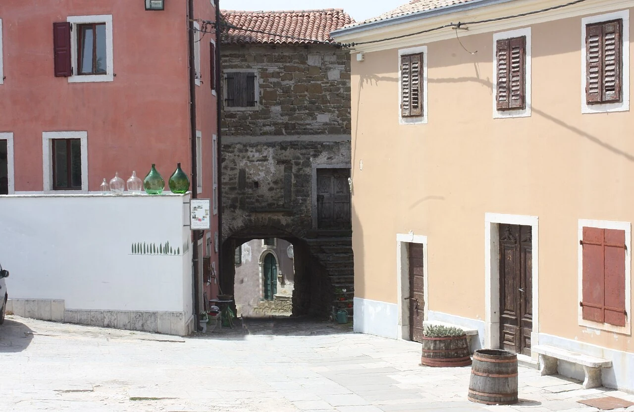 Dguendel · CC BY 3.0
Oprtalj
An atmospheric next chapter among old streets and broad views over the inland landscape.
Discover the guide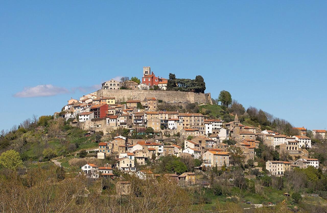 Jernej Furman from Slovenia · CC BY 2.0
Motovun
A hilltop silhouette above the Mirna valley, with another perspective on the countryside surrounding Završje.
Discover the guidePart of a wider story
Keep discovering Istria.
A day with no need to hurry.
Build a simple visit around the village, a stretch of countryside and one more hill town. Keep the rest of the day open.